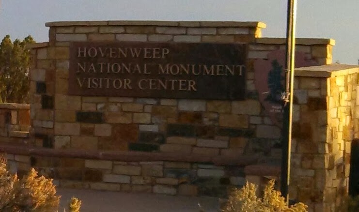
Hovenweep National Monument, Utah. Hovenweep is the Ute Indian word meaning 'abandoned valley'. Around 1300 AD, the Ancestral Pueblo Indians left their villages to only be rediscovered by a pioneer in the 1800's.

Unlike the cliff dwellings at Mesa Verde and the rounded kiva structures at Chaco, the ruins here are unique because they appear to be tower fortresses.


With dusk upon us after our run around the Rim Trail, I wisely decided to avoid playing bumper cars in the dark with the livestock on the road and I camped out at Hovenweep.

I could hear the zipper of another camper's tent 500 feet away and it sounded 5 feet away. The other fellow campers (maybe 8 of us in all) were so respectful of the quietude of the area, no dogs barking, no one slamming car doors, no generators, no music. The lack of light pollution makes the stars appear to be so close that you could reach up and pluck one out of the sky. In Alabama, I can work outside by moonlight when the moon is full, otherwise a head lantern is necessary. Here, the half moon projected more light, it was crazy to be walking around at midnight casting long shadows.

As soon as the sun was up, Cole lead an expedition into the canyon. We hiked 10 miles before lunchtime.

It was my turn to get stuck in a crevice on the trail, yes, this is the only way down to the canyon on the trail! Cole mocked me.

Rock cairns such as the one Cole found are the only trail markers. Many cattle paths are more worn than the hiking trails, making it easy to wander off in the wrong direction. My dogs has learned after a few thousand miles of trail running (no exaggeration on the mileage) how to stay on trail. He uses a combination of sight and smell. I'm sure he follows the scent of previous hikers. This trail confused him at first. He kept his smeller to the ground and would turn back to give me the "I dunno" look. After a mile or so of correcting him, he started to recognize the cairns as markers. Who says you can't teach an old dog a new trick? When unsure of the direction to take us in, I'd watch him scan ahead for a pile of rocks and make a bee line for them. He is my wonder dog!

We made it to the Holly Settlement just as the ranger came in from the other direction to patrol the area. So, I got a personal tour of the ruins. Apparently, no one bothers to hike up to this site, explaining why Cole couldn't get a scent. She showed me the petroglyphs that were a part of their way to calculate growing seasons. Would you know what day it was if you lived in a vacuum? The Puebloans marked spots where to Sun would hit only during an equinox, that served as their calendar. Otherwise, a warm week might have fooled them into planting their precious seeds in February instead of the more appropriate March.

The far tower was built directly atop a big boulder. Access was possible only with a ladder.

Peering down into the canyon. My fearless leader had to wear his boots for the entire hike. The ground is too rocky. We had to wrap up our excursion before it got too hot because the boots prevent heat from dissipating from his pads.

Heading North.

Church rock on the road to Moab.

Wilson Arch.
I stopped in Moab for coffee, oh yeah, I fell off the wagon. Coffee is my friend once again! Moab is home central for mountain bike junkies and your garden variety of eccentric people. The coffee shop owner had grey dreadlocks, tattoos that needed ironing and enough piercings to fill a tackle box. Apart from all that she didn't look too bad for her 66 years. Her cranberry eyes made me suspicious that the smell burning my nostrils wasn't incense burning. Her brownies and cookies looked scrumptious, but I thought it safer to pass.
True to form, I pulled into to Goblin Valley State Park after dark.

The view on Saturday.